Learning to Navigate: My Dyslexic Journey
A personal reflection on picking up a map and compass and learning navigation and map reading as a dyslexic Mountain Leader. What are the techniques that keep me on track, and why anyone can learn to navigate with confidence in the hills.
Will Hall
1/17/20263 min read
People often assume that when you’re a Mountain Leader, you must have been born holding a map. Far from it.
My navigation journey started in my late twenties, somewhere between fell running in the Lakes and being handed a Harvey’s race map with someone asking, “where’s north from here?” Spoiler, I had absolutely no idea.
Growing up, my sense of direction came from looking around, noticing the rolling hills of the Yorkshire Dales, and piecing together the story of where I’d been. Proper map reading came much later.
As I spent more time hill running, and during a memorable six months working in the Himalayas – I realised there was a whole new way to engage with the landscape. The local Nepali guides had an incredible inner compass and knew every valley and route, but most had never used a map simply because there weren’t any detailed ones for the areas we walked in.
It made me appreciate how much fun it is to truly understand the terrain rather than just pass through it. When I returned home and picked up an OS map, I suddenly appreciated all the tiny details – and a whole new world opened up!
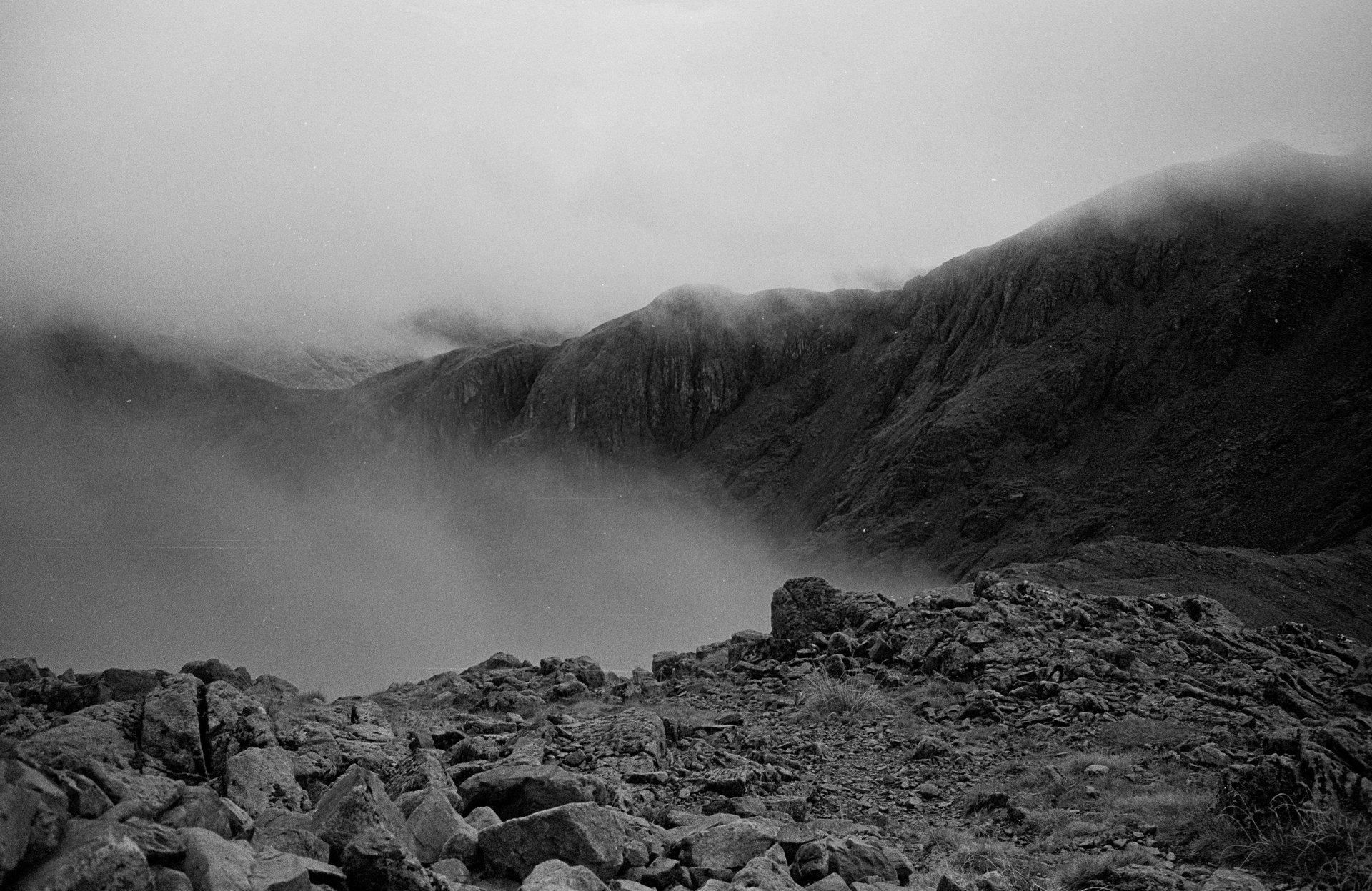
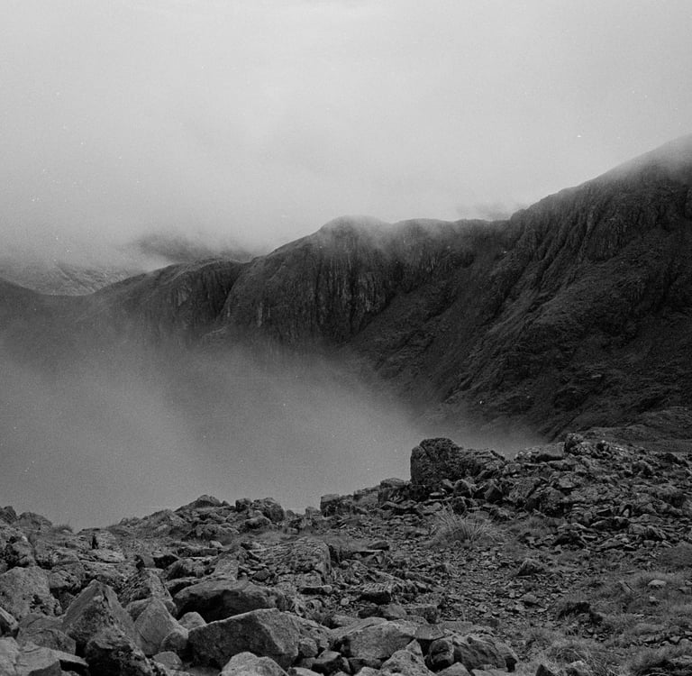
Hillwalking in Scotland and navigation in poor weather
When I moved to Scotland, I’d happily head out on massive hill days and rely on my phone and a red GPX line. Most of the time it worked, but there were a few hairy moments. Then I began my Mountain Leader training and that’s when I learned two big truths:
In good weather, navigation feels almost effortless.
Poor weather makes navigation essential!
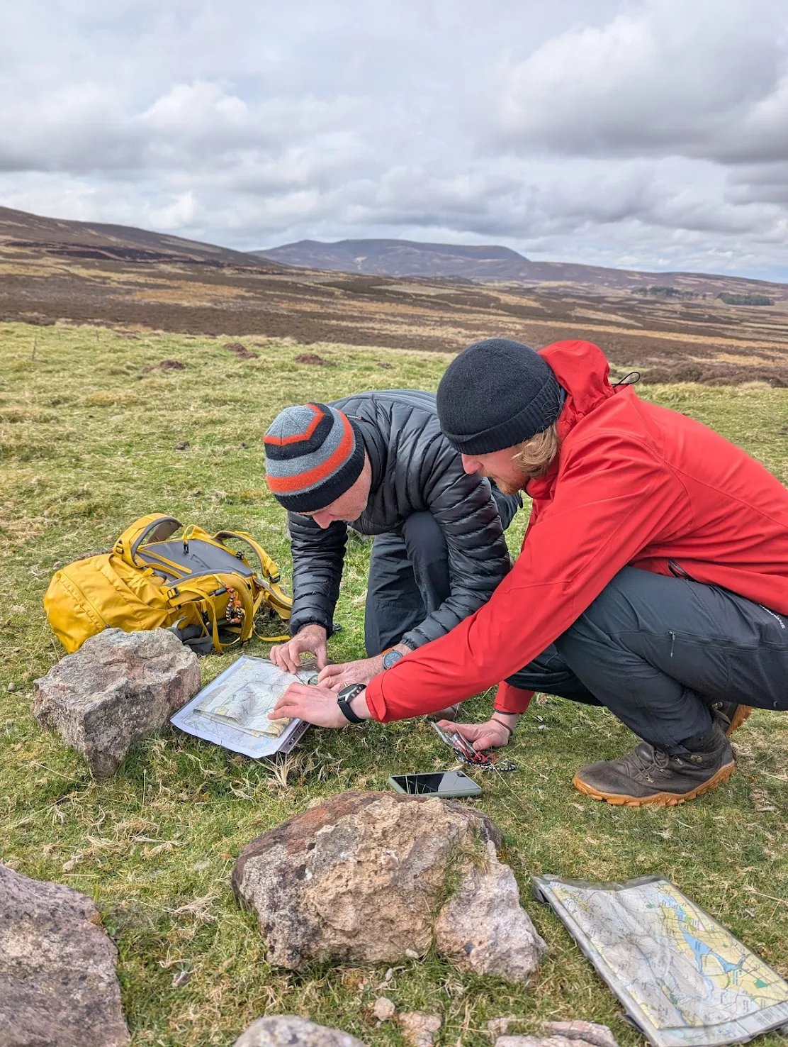
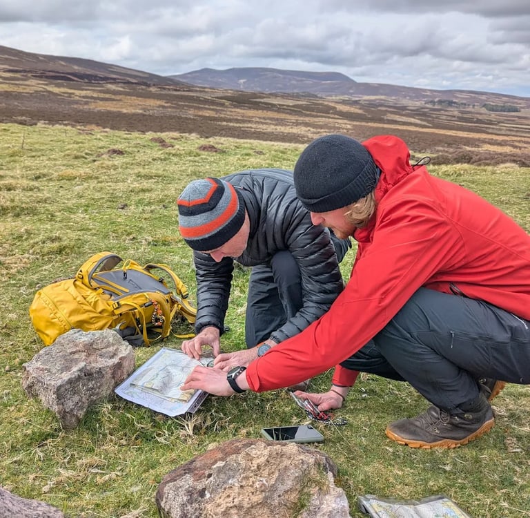
So here are some of the key techniques I use to keep me on track:
Walking on a Bearing
A classic compass skill. Learn this when the weather is good and practice it when visibility is awful.
Attack Points
Pick an obvious feature, a target, like a knoll or a cairn, and navigate to that. It’s like choosing a landmark to guide you into the right street.
Aiming Off
One of my favourites. If you're heading for a ridge, a path or other linear feature in poor visibility, take your bearing slightly to one side. When you hit that feature, you’ll know which direction to turn. Simple and gives you a big confidence boost!
Estimating Distance
Timing, pacing, and knowing roughly how far you travel in, say, ten minutes adds another layer of confidence. Mountain Training Association sell wee timing cards £1 if you want the extra accuracy.
Avoiding Hazards
Being safety-minded on the hill is everything. Techniques like dog-legs or boxing a compass line help you stay well away from cliffs, steep ground, or winter cornices — especially when visibility drops and the terrain feels featureless.
A top tip
Get the map out before you’re lost. Use every clear moment between clouds to look up and notice the terrain you’re crossing!
Phones in the Hills
I recently downloaded the Hiiker App thanks to a Black Friday deal. It’s got Harvey’s Map layers. Harvey Maps are brilliant for walkers. I love digital tools, and they definitely have their place. But nothing replaces the freedom of knowing you can navigate when your phone dies, the signal drops, or the weather goes full Scotland.
Navigation, Dyslexia, and Learning by Doing
I found out I was dyslexic in my thirties. It explains a lot, especially around memory, processing, and why learning navigation didn’t come naturally to me.
Finding it hard didn’t stop me it just changed how I learned.
Teaching others has helped massively. Every time I explain a technique, I learn it again myself. It proves that you can start as a total beginner, practise a little, keep showing up, and become confident navigating anywhere.
For me, navigation isn’t about being “good with maps.” It’s about paying attention, staying curious, and trusting that you can figure things out. It’s dead fun, too!
And the exciting bit…
I run Navigation Days!
I genuinely love teaching navigation – it taps into the educator and teacher in me. These are friendly, supportive days where we break navigation down and build your confidence in route planning, map and compass skills, relocation, plus more.
I run Navigation Days, designed for beginners and for tackling poor weather, as well as Mountain Skills Courses to build your skills even further. These are friendly and hands-on courses all about making navigation and mountain skills as simple and enjoyable as possible and you’ll leave with a huge confidence boost.
Book your place today – let’s get out on the hills and find north together.